Cheers From India
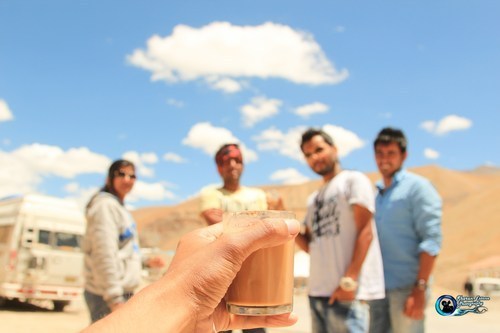
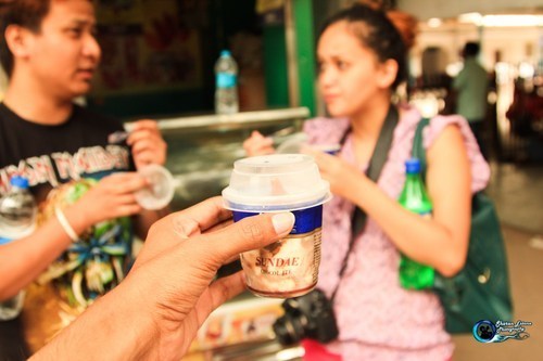
August 18th, 2014 Loading Comments...Cup of Tea on one of the busy streets of Manali.
Manali in Himachal Pradesh state. It is open for only about four and a half months in a year in summer between May or June, when the snow is cleared by the Border Roads Organisation of Indian army and mid-October when snowfall again blocks the high passes. It connects Manali valley to Lahaul and Spiti valleys and Zanskar valley in Ladakh. It is a part of NH 21.
Leh–Manali Highway was designed and built and is maintained entirely by the Border Roads Organisation (BRO). It is capable of supporting the heaviest of army vehicles.
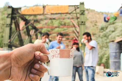
Cup of Tea at Tandi Bridge
Tandi Bridge at 2,570 m (8,430 ft) elevation 8 km (5.0 mi). Tandi is situated at the bottom of the river valley at the confluence of the Chandra river and the Bhaga river (flowing down from north) which merge to form the Chandra-Bhaga river (that later becomes known as Chenab downstream in Jammu and Kashmir). Cross the Bhaga river over the bridge towards the right, take the right turn at the fork and the road again starts climbing.
Cup of Tea at the valley of Pang
Pang with an altitude of 15100ft. 4,600 m (15,100 ft) elevation 80 km (50 mi) climbing 500 m through the Gata loops (22 hairpin bends) at 4,190 m (13,750 ft) elevation and traversing through Nakee La pass at 4,739 m (15,547 ft) and Lachulung La pass at 5,065 m (16,616 ft) elevations. Register at the check post at Pang.
Cup of Tea reaching old Leh
Leh was an important stopover on trade routes along the Indus Valley between Tibet to the east, Kashmir to the west and also between India and China for centuries.
One of our friend getting sick with the bends on the roads to Leh.
Cup of Tea on top of the world Kardung La.
Khardung La (Khardung Pass, la means pass in Tibetan) is a high mountain pass located in Ladakh region of the Indian state of Jammu and Kashmir. The local pronunciation is “Khardong La” or “Khardzong La,” but, as with most names in Ladakh, the romanised spelling varies.
The pass on the Ladakh Range lies north of Leh and is the gateway to the Shyok and Nubra valleys. The Siachen Glacier lies partway up the latter valley. Built in 1976, it was opened to motor vehicles in 1988 and has since seen many automobile, motorbike and mountain biking expeditions. Maintained by the Border Roads Organisation, the pass is strategically important to India as it is used to carry supplies to the Siachen Glacier.
Local summit signs claim that its elevation is 5,602 m (18,379 ft) metres high and that it is the world’s highest motorable pass. It has been listed in Guinness World Records. But these claims are disputed by multiple modern measurements, which all agree that its true height is much nearer to the 5,359 m (17,582 ft) measured using DGPS and imply that there are several higher motorable passes.
Khardong La is historically important as it lies on the major caravan route from Leh to Kashgar in Central Asia. About 10,000 horses and camels used to take the route annually, and a small population of Bactrian camels can still be seen at Hunder, in the area north of the pass. During World War II there was an attempt to transfer war material to China through this route.

Cup of Tea at Chang La
The Chang La (el. 5,360 m or 17,590 ft) is a high mountain pass in Ladakh, India. It is the third highest motorable road in the world.
The Chang La is on the route to Pangong Lake from Leh. The name literally means “Pass towards the South” or “Pass in the South” (Chang = south, La = Pass). It is falsely claimed that the pass is named after the supposed sadhu Changla Baba, a myth propagated by the dedication of a temple at the pass to the supposed Changla Baba. If any such sadhu exists or existed, he would have been named for the pass, rather than vice versa (since the name “changla baba” means the “baba of the southern pass”. The small town of Tangste is the nearest settlement. The Changla Pass is the main gateway for the Changthang Plateausituated in the Himalayas. The nomadic tribes of the region are collectively known as the Changpa or Chang-pa.
Cup of Tea at Old Leh Hotel
The old town of Leh was added to the World Monuments Fund’s list of 100 most endangered sites due to increased rainfall from climate change and other reasons. Neglect and changing settlement patterns within the old town have threatened the long-term preservation of this unique site.
The rapid and poorly planned urbanisation of Leh has increased the risk of flash floods in some areas, while other areas, according to research by the Climate and Development Knowledge Network, suffer from the less dramatic, gradual effects of ‘invisible disasters’, which often go unreported.

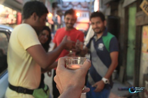
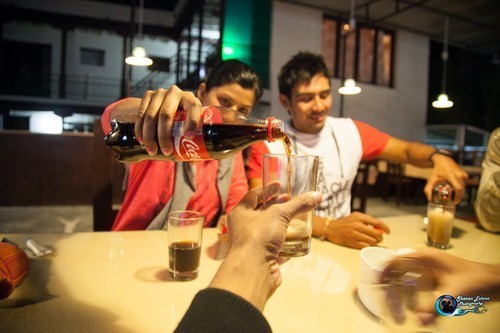
Pour me some Coke
A cup of coke at Barque Point Old Leh road.
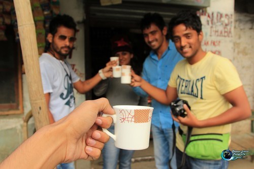
Cup of Tea at Diskit
Schizophrenic Diskit has two very different centres. Nubra’s biggest settlement, Central Diskit, is a comparatively unattractive place by Ladakh’s very high standards, but it has the area’s bus/taxi stand, internet cafes, a useful bazaar, a tourist reception centre and the region’s only petrol pump (1km north towards Hunder). Following the bazaar east then swinging right past the Spangla Guesthouse and Hotel Stendel you’ll find an altogether softer Diskit that leads 1.5km to an area of stupas, a big mani wall, and a crumbling old Ladakhi Mansion before rejoining the main road just beyond Sunrise Guest House. Above this ‘Old Diskit’ a 2km spaghetti of hairpins winds up to the 17th-century Diskit Gompa, a brilliant jumble of Tibetan-style box buildings piled higgledy-piggledy up a steep rocky peak that ends in a toe-curlingly vertical chasm. On the lap of the guardian deity statue, the human scalp is supposedly that of a Mongol warrior who mysteriously dropped dead when attempting to sieze the monastery. The entry fee includes access to a gigantic (32m) full-colour Statue of Chamba (Maitreya-Buddha) on an intermediate hill, formally inaugurated by the Dalai Lama in July 2010.
Cup of Tea at Hunder
Beautiful but remote, Hunder village sits like an oasis in the middle of cold desert in Nubra valley of Jammu and Kashmir. Seven km from Diskit which is known for its Buddhist monastery, Nubra has acquired fame for its sand dunes, the cold desert that surrounds it, Bactrian camels and its breath-taking natural beauty.
Situated close the Siachen glacier and Pakistan border in Jammu and Kashmir in north India, entry beyond Hunder village is barred as the area ahead is controlled by the Indian Army. Hunder is approximately 160 km from Leh and one has to cross Khardung La, the world’s highest motorable pass to reach the remote village.
The high altitude desert, with rolling expanse of sand dunes and barren landscape is the USP of Hunder village. The cold desert and sand dunes seem enigma to scores of tourists who come to visit the spectacle.
Bactrian camels are another attraction. Native to the steppes of central Asia, the Bactrian camel has two humps, in contrast to the single-humped camels found in Rajasthan and other parts of India. The Bactrian camels were the main mode of transport when Ladakh was an important stopover on the ancient trade routes with Central Asia.
Joyrides on the Bactrian camel through the sand dunes is a must do for the tourists who visit Hunder. Camel safari takes around two hours.
Hunder is also the place where you can find forests of sea-buckthorn, a medicinal plant rich in bio-molecules, vitamins and nutritive properties and popularly known as ‘Leh Berry’.
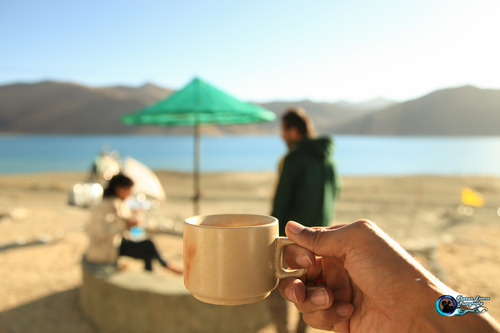
Cup of Tea at the Pangong Lake
Pangong Tso, Tibetan for “long, narrow, enchanted lake”, also referred to as Pangong Lake, is an endorheic lake in the Himalayas situated at a height of about 4,350 m. It is 134 km long and extends from India to Tibet.
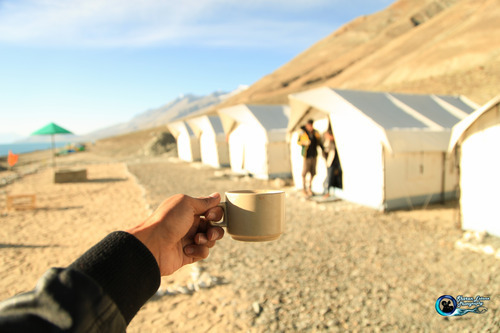
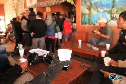
Cup of Soup at the world’s Highest FD workshop.
(Location cannot be disclosed)
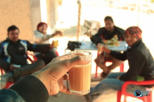
Cup of Tea at Sakti
SAKTI a small village on the way to CHANG LA(5360 M / 17690 FT)
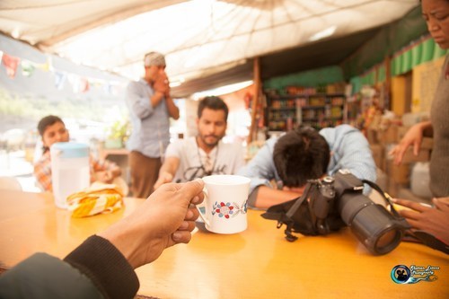
Cup of Tea at Punjabi Daba on the way to Kargil
Kargil is a town, which serves as the headquarters of Kargil district of Ladakh in the state of Jammu and Kashmir in India. It is the second largest town in Ladakh after Leh. It is located 60 km and 204 km from Drass and Srinagar to the west respectively, 234 km from Leh to the east, 240 km from Padum to the southeast and 1,047 km from Delhi to the south.
Cup of Tea above on of the highest and the only River that goes into Pakistan (Jhelum River)
Jehlam River or Jhelum River is a river that flows in India and Pakistan. It is the largest and most western of the five rivers of Punjab, and passes through Jhelum District. It is a tributary of the Chenab River and has a total length of about 725 kilometres (450 mi).

Cup of Tea in Jammu
Jammu city, officially called Jammu-Tawi, is the largest city in Jammu and the winter capital of Jammu and Kashmir. Jammu City is also known as “City of Temples” as it has many temples and shrines, with glittering shikhars soaring into the sky, which dot the city’s skyline, creating the ambiance of a holy and peaceful Hindu city.
Cup of Tea at Sonamarg Kashmir
Sonamarg (translation: “Meadow of Gold”) is a hill station in Ganderbal district in the Indian state of Jammu and Kashmir.
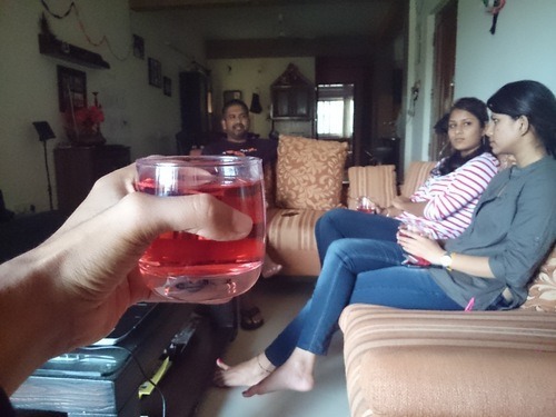
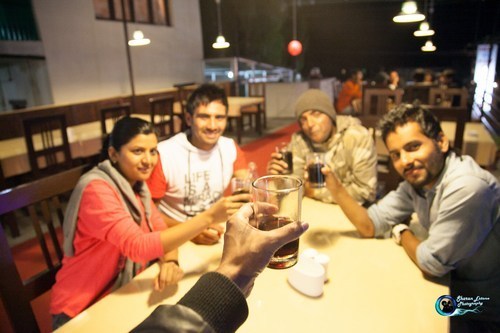
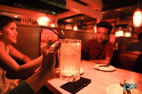
Jug of Sprite at Chilli’s Delhi.
Outing with my dear sister and family in Delhi.
Ice Cream at Delhi Rural Train station
The day we missed the train in Delhi ending up catching a flight to Mumbai.
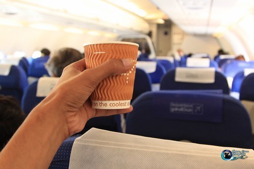
Cup of Coffee at 40,000 ft :P
Found an awesome and cost effective airway service at the last moment to move us from Delhi to Mumbai.
Cup of Juice at our dear friends place in Bangalore
Visiting Pradeep Menon at his home, to wish him get well soon.